If you’re looking for a relatively short hike with beautiful scenery on the Mogollon Rim, take a stroll on the trail to Willow Springs Lake from the Horse Trap Trailhead near Forest Lakes.

Quick take
Hiking the trail to Willow Springs from Horse Trap Trailhead is easy, and very scenic. It’s also easy to get lost, as I found out. I managed to get off trail in the first mile.
Thanks to the glimpses of the lake that kept drawing me closer, I walked right by a key turnoff. No biggie. I was able to find my way back to the trail. And the short detour allowed me to see some unique areas that people with better navigation skills would miss have missed out on.


Hike summary:
- Length: 2 miles one way, 4 miles round trip
- Difficulty: Easy
- Dogs allowed: Yes
- Highlights: Ponderosa pine forest, Willow Springs Lake
- Precautions: Easy to get off trail, 7,500-foot elevation means limited oxygen
- Trailhead: Horse Trap (4 mi west of Forest Lakes village on Hwy 260)
- Pass/permit required: None
Note: 1 mile = 1.6 kilometers
After hiking roughly two miles northward on a meandering trail (with a brief detour), I found myself at the north end of Willow Springs Lake. That’s where I took off my pack and pulled out a protein bar and some water to chase it down with. Then I took a seat on a nice flat rock place neatly on a tree stump and soaked in the sights of people enjoying the lake.
More about Willow Springs Lake: Look no further than Willow Springs Lake on Arizona’s Mogollon Rim for relief from the desert heat
Video: What you’ll experience on this hike
Want to create cool videos of your outdoor activities with your phone? Try the Relive app.
Bonus: Although I stopped where the trail meets up with the north shore of Willow Springs Lake, you can keep hiking a few more miles along a refreshing creek that spills out of the dam.
Caution: It’s easy to get lost in the woods
If you’re like me, you might get so preoccupied with the scenic landscape that you’ll walk right by a trail junction or two. My first brief excursion off trail ended well, and I got to experience a few cool views of the lake I wouldn’t have if I’d stayed the course. The second temporarily raised my level of anxiety.

At the end of my rest break, I grabbed my things and began making my way back to where I’d started; or so I thought. The section of trail that led me away from the lake was vehicle-width, with two shallow tire track ruts. I remembered leaving footprints on that section for a short jaunt on my way here. On the way back, my instincts were telling me I had traveled a little longer than I should have. A quick look at my location on my phone’s GPS confirmed I missed my turn.

I was headed north, deeper into the woods. I knew for sure my car was south of this location. So, I backtracked to the water’s edge, then started over. Sure enough, the single-track trail I needed to take back toward the car was only about 40 yards from the shoreline.

Pro tip: How to avoid getting lost
On this hike you’ll encounter several trails that crisscross each other, plus what I call phantom trails. They look like trails but they’re not. My top tip for not getting lost is to use a hike tracking app such as mapmyhike, relive or alltrails. This way you can look at your at your phone to retrace your path back to the starting point. Of course, you’ll want to make sure you also have a fully charged phone battery when you start, and switch to airplane mode so that the phone’s constant search for a signal doesn’t kill your battery.
Related: Nobody intends to get lost while hiking but here’s how to prepare in case it happens to you
Final thoughts
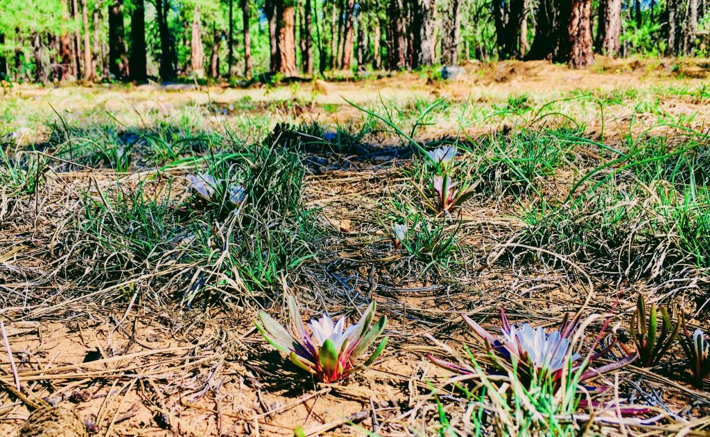
There are hundreds of miles of trails on Arizona’s Mogollon Rim offering access to all sorts of interesting sights for anyone willing to get out and explore. This one is short on distance and long on views. In less than two miles (one way) you’ll enjoy towering pines overhead, forest flowers and critters at trail level and refreshing views of Willow Springs Lake on the horizon.

1 Comment