Grand Canyon is known for many amazing hiking trails. It’s inspiring enough to stroll along Rim Trail and take in the majestic sights, but the real magic happens when you hike down into the canyon.

Featured Hike: Bright Angel Trail to Plateau Point
Popular Grand Canyon hikes
- Rim to River
- Rim to Rim
- Rim to Plateau Point
Two challenging hikes that many dedicated Grand Canyon hikers have on their bucket list are Rim to River and Rim to Rim. The itinerary for either often includes one night (or more) of reserved lodging or camping at Phantom Ranch in the bottom of the canyon. A third option, Rim to Plateau Point, is a worthy alternative that provides spectacular views of the canyon and the river. Plus, no overnight stay (or permit) is necessary.
Rim to River
A popular route for many who hike rim to river is down South Kaibab from South Rim to Phantom Ranch near the Colorado River, then and a jaunt downstream along the river to Bright Angel Trail and back up to South Rim. This hike is about 17.5 miles (28.2 km) in length, with an elevation gain of 4,845 feet (1.48 km).
Rim to Rim (R2R)
Rim to Rim involves hiking from the North Rim down North Kaibab Trail, across the Colorado River, and up Bright Angel. That’s a north to south hike; south to north hike is basically the same route in opposite directions. Total length is around 24 miles (38 km), with an elevation gain of about 5,200 feet (1.58 km).
Although either of the above hikes can be done in one day, without a permit, most people in the know advise against it. If you’re looking for a challenging, spectacular hike that can be done in one day with no permit required, consider taking Bright Angel Trail from South Rim to Plateau Point.
Important: Even though the hike described below requires no permit, you’ll need to purchase a National Parks pass to gain entrance to Grand Canyon National Park.
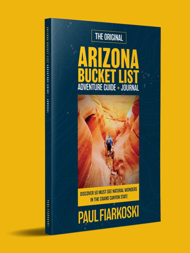
This simple book is changing the way people experience Arizona’s natural wonders.
Alternative: Rim to Plateau Point

Rim to Plateau Point via Bright Angel Trail is a good alternative to Rim to River and Rim to Rim. As you start down the trail, you’ll quickly descend deep into the canyon as you navigate dozens of switchbacks. Along the way you’ll encounter waves of stair-stepped ledges, cliffs and buttes painted various shades of brown, red, green and gray. Your destination is a scenic, rocky plateau that gives you breathtaking birds-eye views of the slender, shimmering ribbon of the Colorado River 1,300 feet below that carved through rock layers to create America’s grandest natural wonder.


Rim to Plateau Point hike overview:
- Starting point: Bright Angel Trail at South Rim
- Destination: Plateau Point, 6.1 miles (one way)
- Elevation change: 3,150 feet
- Water sources: 3
- Covered rest houses: 2
- Total distance: 12.2 miles
- No permit required
You’ll surely need a few breaks as you take on this 12.2-mile (20 km) round-trip hike that lowers you nearly 3,150 feet (1 km) in elevation. Just remember, you have to hike back up, too. Reliable sources of shade, water and places to rest your feet await you at the 1.5-mile and 3-mile rest houses along Bright Angel Trail, plus Indian Garden at roughly the 4.5 mile mark. From Indian Garden, it’s three miles out to Plateau Point and back on relatively flat terrain.
Video: Plateau Point via Bright Angel Trail


Instagram-worthy views at Plateau Point are the payoff for your efforts. You may not feel like you’ve worked that hard to get here because it’s been mostly downhill so far. The hard work begins just after you stroll through Indian Garden on your way back to South Rim. It’s during the final three miles of the hike where you find out just how mentally and physically tough you are. This section of trail is considered one of the most challenging in North America by hikers of all levels.
Tips for a successful first hike to Plateau Point in Grand Canyon
Time your hike to avoid peak heat on your ascent
It’s not uncommon for daytime temperatures to reach 100 degrees (38 Celsius) or more along Bright Angel Trail, especially in summer months. It’s smart to plan your hike so that you’re not hiking the uppermost three miles of the trail during the afternoon. This is the most difficult stretch of the hike for sure. Beat the heat by starting your hike at the crack of dawn. If hiking in the dark doesn’t concern you, time your hike down so you arrive at Plateau Point around sunset and back up to South Rim in the cooler evening temps. A headlamp is recommended for night hikes.
Pace yourself
The total hike is 12.2 miles and takes most hikers somewhere between six and eight hours. Plan for each uphill mile to take roughly twice as long as it takes when hiking downhill. Example: If it takes you two hours to hike down, plan on four hours to hike up. It took us just under eight hours to complete the hike, including breaks for lunch, rests and photos.
Want to stretch it over two days? Consider camping overnight at Indian Garden. You would need to get a backcountry permit to do this.
Carry only what you need

You’ll burn a lot of calories on this hike and will need to refuel with snacks, water and electrolytes along the way.
Pack smart to keep your load as light as possible for the hike out. Ideally, you should refill at each water station with just enough water to get you to the next water source. Lightweight gear for inclement weather and a small first aid kit are also good to bring along.
Take care of your feet
Blisters and broken toenails are two common injuries that foil the plans of people who take on this hike. Lace your shoes up nice and tight while you’re heading down to reduce the amount of sliding around your feet do. Socks wet with sweat can cause blisters, too. Consider carrying a second pair of socks that you can change into at about the halfway point.

Listen to your body
This hike is no walk in the park. You’ll need every ounce of energy you have for the final three miles. Take breaks early and often to conserve energy and avoid catastrophe. If you feel your heart racing, slow your pace down or stop until your pulse slows down. Headaches or dizziness may be a sign of dehydration. Make sure you drink water and/or electrolytes continuously, even if you don’t feel thirsty.
Take a look around
It’s important to keep your eye on the trail to avoid injuries, but you should also stop and take in the sights periodically. Views of all the canyon fingers and rock formations will amaze you. So will the various plants and animals that live in the Grand Canyon. Be on the lookout for snakes, squirrels, bighorn sheep and the endangered California Condor.

Bright Angel Trail to Plateau Point is an exhilarating alternative to the more popular Rim to River and Rim to Rim hikes in Grand Canyon. This hike provides plenty of challenge, with spectacular views of the canyon and river. It also requires a shorter time commitment and no advance permit.
Ready to do this?
All you need is a free day on your calendar and a National Parks pass, which you can buy online or at the entrance to Grand Canyon National Park. Tap the map below for directions to the trailhead:

In case you haven’t heard, my passion for discovering natural wonders in Arizona led me to create a bucket list. In 2019, I published the Arizona Bucket List Adventure Guide & Journal.
Thanks for tips
Thank you so very much for this guide and review, all the info I could possibly need is here in a clear succinct manner. I live in England but I share your deep passion for Arizona, I’ve been many times and always feel it pulling me back each time I try to plan other destinations. Kind regards, Stevie.
Thanks for your feedback, Stevie. I moved to AZ only 8 years ago and had no idea how many amazing experiences awaited me here. I just wish I had more time to take them all in. Here’s hoping the virus subsides so international travel can resume. It was an eerie feeling to see so few people at Grand Canyon last weekend.